GeoFinderAI
Determines geographic locations from uploaded photos for researchers and travelers.
Description
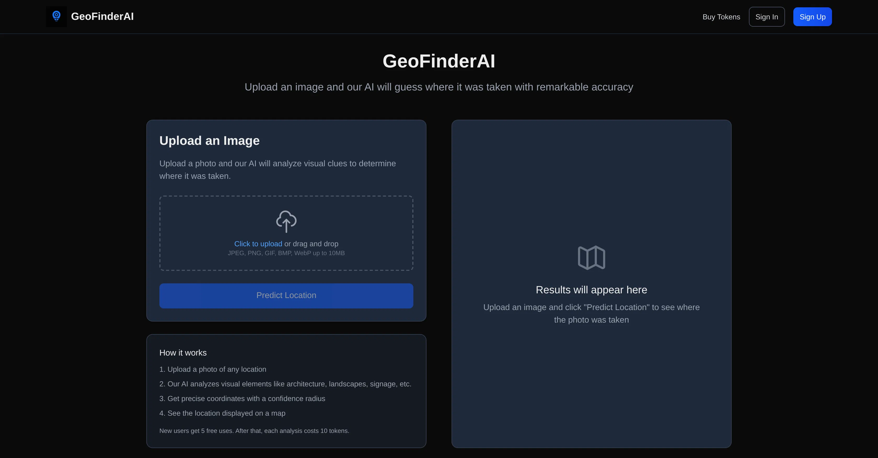
GeoFinderAI is a specialized computer vision service developed by a team of geodata engineers and machine learning researchers. Its core value lies in automatically determining geographic coordinates from uploaded photos, positioning the tool as an indispensable digital tracker for fieldwork. The technology is based on a hybrid neural network model that analyzes both visual features of landscapes and architecture, as well as image metadata.
Key capabilities: the service can identify the continent, country, city, and specific landmarks from photos lacking EXIF data with high accuracy. Users can upload single photos or batches of images for batch processing, receiving coordinates, a probabilistic accuracy score, and visual placement on an interactive map. A technical feature is its ability to analyze non-obvious details: vegetation types, architectural styles, road signs, and even the sun's position for approximate latitude determination.
The uniqueness of GeoFinderAI lies in its deeply specialized and continuously updated database of geo-features, which significantly surpasses general image classification models. The service offers three pricing plans: a free tier for one-off checks with basic accuracy, a professional plan with API access and query history, and an enterprise plan for batch processing of thousands of images and integration into geographic information systems. A key advantage is its operation in a private cloud, ensuring the confidentiality of source photo materials.
It is ideally suited for professional travelers, bloggers verifying user-generated content, investigative journalists, and scientists in biology or geography who need to document discovery sites. Specific use cases include reconstructing routes from old archival photos, verifying geolocations for social media content, and field research with automatic cataloging of photo materials by coordinates.
Key Features
Key Tags
Who It's For
Optimizing workflows
Generating ideas and experiments
No discussions yet.
Be the first to start a discussion!
Info
Best Prompts
No prompts yet. Be the first! GeoFinderAI